Jeremy Norman’s
HistoryofInformation.com Exploring the History of Information and Media through Timelines
Jeremy Norman’s
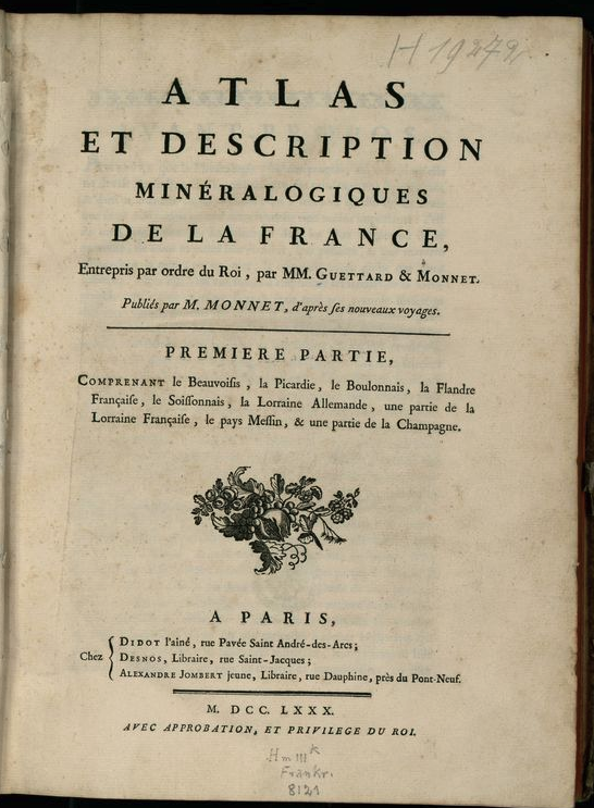
In order to reduce file size of this large digital image I cropped the blank margins, which are very full in the copy reproduced by MinesParisTech.fr.
A: Paris, Île-de-France, France, B: Ithaca, New York, United States
In 1780 French mineralogist and naturalist Jean-Étienne Guettard and Antoine Monnet, France's first Inspector-general of mines, published Atlas et description minéralogiques de la France in Paris at the Office of Dupain-Triel, Royal Geographical Engineer.
In 1766 Henri Bertin, Minister and Secretary of State in charge of mining, commissioned a geological survey of France from mineralogist Jean Etienne Guettard, one of the first geological cartographers, and Guettard's protegée, the young Antoine-Laurent de Lavoisier (Antoine Lavoisier). Guettard and Lavoiser had begun collecting field notes for the project as early as 1763, and in 1767 they embarked on a geological tour of Alsace, Lorraine and Franche-Comt. During this tour both Guettard and Lavoisier maintained diaries of their geological observations. That kept by Lavoisier is preserved in the Duveen Lavoisier collection at Cornell University; that kept by Guettard was formerly in the Haskell F. Norman Library, dispersed at Christie's.
When Lavoisier returned to Paris he assumed most of the responsibility for supervising the production of the geological maps, which were engraved by the Sieur de Dupain-Triel, Royal Geographical Engineer. By 1770, he and Guettard had overseen the completion of sixteen plates, and by 1777 they had partially completed an almost equal number. According to Lavoisier's own statement, all plates dated 1766 and 1767 were prepared with his assistance.
The atlas was to have contained 230 maps in all, but this total was never reached, as political and financial difficulties intervened. In 1777, to the displeasure of both Lavoisier and Guettard, Antoine Monnet, France's first Inspector-general of mines, was appointed to direct the geological survey. In 1780 thirty-one maps, together with a long text written by Monnet, were published under the joint authorship of Guettard and Monnet. The Atlas's maps included six by Guettard and Lavoisier, fifteen begun by Guettard and Lavoisier and finished by Monnet, and ten prepared entirely by Monnet. Monnet issued a second edition of the Atlas some time after 1794, under the title Collection complète de toutes les parties de l'Atlas minéralogique de la France. This second edition had forty-five maps, fourteen more than the 1780 Atlas; of the new maps, ten were by Guettard and Lavoisier, one was prepared by Guettard and Lavoisier and revised by Monnet, and three were prepared by Monnet alone.
Hook & Norman, The Haskell F. Norman Library of Science and Medicine (1991) no. 1287; Guettard diary, no. 953. Duveen & Klickstein, Bibliography of the Works of Antoine-Laurent Lavoisier (1954) 218; Supplement pp. 129-132. The authors state that all the maps produced for the atlas could be purchased individually, colored or uncolored, at the office of Dupain-Triel.