 Jeremy Norman’s
HistoryofInformation.com Exploring the History of Information and Media through Timelines
Jeremy Norman’s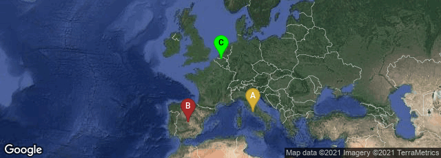
A: Roma, Lazio, Italy, B: Toledo, Castilla-La Mancha, Spain, C: Antwerpen, Vlaanderen, Belgium

Opening text page of van Langren's pamphlet with his graph at the foot of the page. From the digital facsimile of the copy in the Newberry Library, Chicago. It is possible that van Langren's autograph signature appears on p. 8 of the Newberry copy.
In 1644 Dutch astronomer and cartographer Michael Florent van Langren (Langrenus, Miguel Florencio, Michale Florent) published La Verdadera Longitud por Mar y Tierra in Antwerp as a pamphlet. To show the magnitude of the problem of determining longitude, van Langren created the first known graph of statistical data, showing the wide range of estimates of the distance in longitude between Toledo and Rome.
Friendly, Valero-Mora, and Ibáñez Ulargui, "The First (Known Statistical Graph: Michael Florent van Langren and the 'Secret' of Longitude," 2010. http://www.datavis.ca/papers/langren-TAS09154.pdf, accessed 01-108-2013.