, map of the Holy Land, right section from the copy in the Bayerische Staatsbibliothek.")
Breydenbach (1486), map of the Holy Land, right section from the copy in the Bayerische Staatsbibliothek.
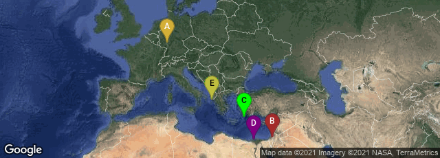
A: Altstadt, Mainz, Rheinland-Pfalz, Germany, B: Jerusalem, Jerusalem District, Israel, C: Greece, D: El Beheira Governorate, Egypt, E: Greece
, map of Holy Land, left section, from the copy in the Bayerische Staatsbibliothek.")
Breydenbach (1486), map of Holy Land, left section, from the copy in the Bayerische Staatsbibliothek.
In 1486 Bernhard von Breydenbach, a wealthy canon of Mainz Cathedral, issued a travel book very extensively illustrated with woocuts, describing his pilgrimage to Jerusalem. It was entitled Peregrinatio in terram sanctam or Sanctae peregrinationes.
Von Breydenbach made the pilgrimage in 1483-4, taking with him, as the book explains, "Erhard Reuwich of Utrecht", a "skillful artist", to make drawings of the sights. As the book relates, Reuwich printed the first Latin edition of the book in his own house in Mainz, and it is also very probable that because Reuwich was the printer he took the opportunity to identify himself as the artist, since the creators of book illustrations were rarely identified at this time.
"Leaving in April 1483 and arriving back in January 1484, they travelled first to Venice, where they stayed for three weeks. They then took ship for Corfu, Modon and Rhodes - all still Venetian possessions. After Jerusalem and Bethlehem and other sights of the Holy Land, they went to Mount Sinai and Cairo. After taking a boat down the Nile to Rosetta, they took ship back to Venice."
"The Sanctae Peregrinationes, or the Peregrinatio in terram sanctam, was the first illustrated travel-book, and marked a leap forward for book illustration generally. It featured five large fold-out woodcuts, the first ever seen in the West, including a spectacular five-foot-long (1600 x 300 mm) woodcut panoramic view of Venice, where the pilgrims had stayed for three weeks. The book also contained a three-block map of Palestine and Egypt, centred on a large view of Jerusalem, and panoramas of five other cities: Iraklion, Modon, Rhodes, Corfu and Parenzo. There were also studies of Near Eastern costume, and an Arabic alphabet—also the first in print. Pictures of animals seen on the journey, including a crocodile, camel, and unicorn, were also included.
"The colophon of the book is a lively coat-of-arms of the current Archbishop of Mainz, which includes the first cross-hatching in woodcut.
"The book was a bestseller, reprinted thirteen times over the next three decades, including printings in France and Spain, for which the illustration blocks were shipped out to the local printers. The first edition in German was published within a year of the Latin one, and it was also translated into French, Dutch and Spanish before 1500. Additional text-only editions and various abridged editions were also published.
"The illustrations were later adapted by Michael Wolgemut for the Nuremberg Chronicle of 1493, and much copied by various other publishers" (Wikipedia article on Erhard Reuwich, accessed 12-01-2008).
ISTC no. ib01189000. In November 2013 a digital facsimile was available from Universitäts und Landesbibliothek Darmstadt at this link.
, map of the Holy Land, right section from the copy in the Bayerische Staatsbibliothek.")
Breydenbach (1486), map of the Holy Land, right section from the copy in the Bayerische Staatsbibliothek.
