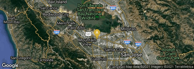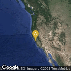

A: Mountain View, California, United States
In 2005 Google launched Google Earth, a virtual globe, map and geographical information program, which mapped the Earth by the superimposition of images obtained by satellite. The program, which Google acquired when it purchased Keyhole, Inc., was originally called EarthViewer 3D.